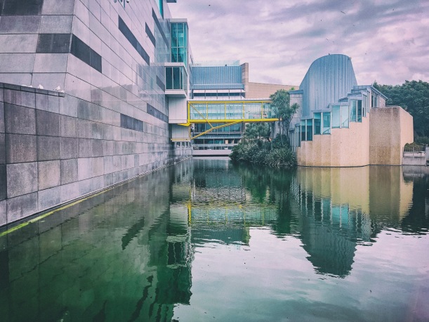
Wellington CBD

1855 Wairarapa Earthquake
From teara.govt.nz
Shortly after 9 p.m. on the evening of 23 January 1855 a violent earthquake began; in Wellington the main shock lasted for at least 50 seconds.
The earthquake was caused by movement along at least 140 kilometres of the Wairarapa Fault, along the eastern edge of the Rimutaka Range. About 5,000 square kilometres of land west of the fault was lifted up and tilted. The southern end of the Rimutaka Range rose by over 6 metres, but the uplift decreased westward to near zero along the west coast of the Wellington peninsula. Across Cook Strait, the seaward end of the Wairau valley subsided over a metre. Land also shifted over 18 metres horizontally along the Wairarapa Fault.
The uplift created a new fringe of beach and rock platforms along the Wellington coast. Many jetties in Wellington Harbour became unusable, but there were also beneficial effects. Blocks of the city’s central business district now occupy land that was below sea level before 1855. The newly exposed strip of shoreline between Wellington and the Hutt Valley offered a safe road and railway route – parts of the coastal road had previously been impassable at high tide. The uplift of the region helped drain the swampy lower reaches of the Hutt Valley.
Shot in response to the Dutch Goes The Photo challenge theme of forces